I didn’t even know Golden Gate Canyon existed until I accidentally found it while out for a motorcycle ride. It’s super close, has great trails, and seems to see fairly low numbers of visitors, even on weekends. It’s another spot really close to Denver with some great views and a lot of trails. I have plenty to explore (as the trail map shows), but I did cover a good chunk of the portion in Jefferson county with this hike.
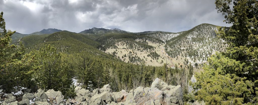
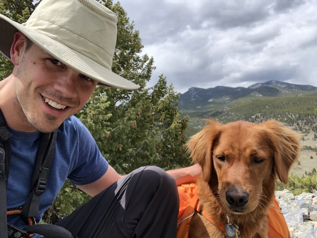
Mountain Lion Trail is 6.7 miles itself, but I ended up taking a couple detours to see things that looked interesting. Specifically, there’s an approximately 1 mile trail to a quarry that I wouldn’t recommend. It was a bit disappointing and the hike itself wasn’t all that remarkable. I also took a detour to City Lights Ridge which is about 1.2 miles each way. That one was worth the trip with great views in almost all directions from the top. Not sure why it’s called City Lights, though. It seems like even at night you wouldn’t see much of Denver or any other major light source directly.
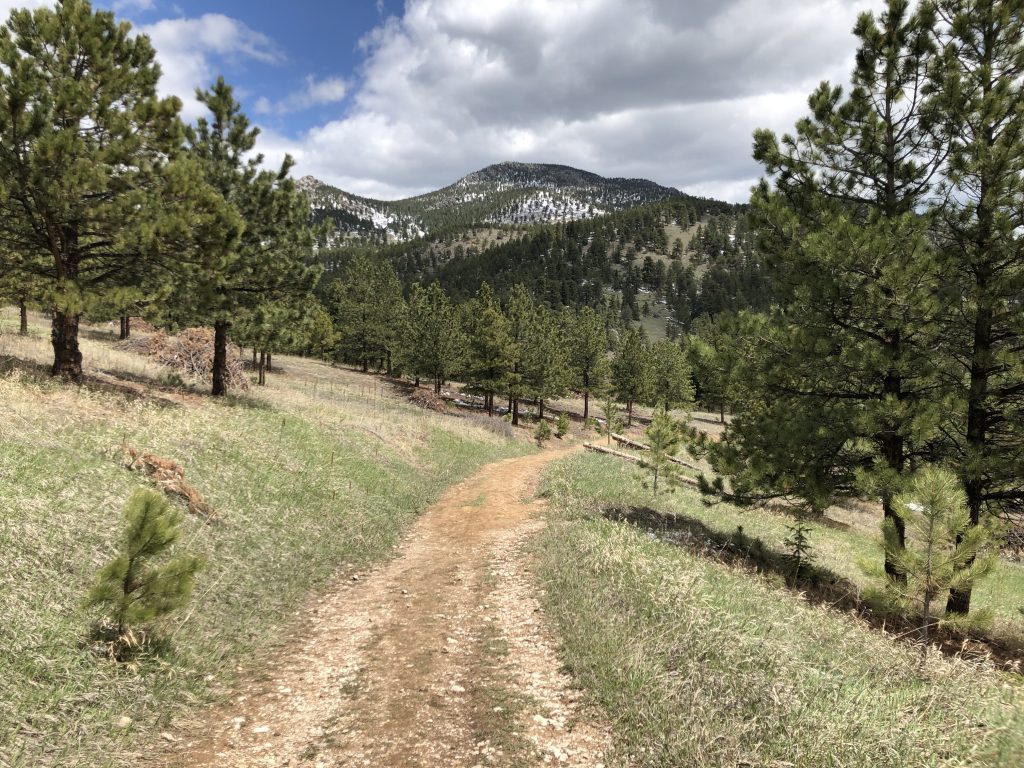
In order to get to the trailhead for Mountain Lion, I took a slightly different route than the signs leading to Golden Gate Canyon suggest. Heading West on Golden Gate Canyon Rd. just before the 4 mile mark, you can turn right onto Crawford Gulch Rd. This will take you through a pretty drive with great views that slowly turns into lower quality road and eventually becomes Drew Hill Rd. It is a dirt road for a bit but if you keep going it’ll eventually become pavement again and you’ll come across the parking area on your right. It’s just after the Red Barn Group Picnic Area and tough to miss.
The parking lot was nearly full when I showed up on a Saturday morning. I got a really late start and ended up not pulling in until around 10:30am. There’s an $8 self-service parking fee at the entry to the parking area. There are two major spots to park, if the first one seems full keep driving and you’ll hit a second one where the road ends. Mountain Lion trail leads out to the West from the first parking lot or the North from the parking lot further back. I started to the North.
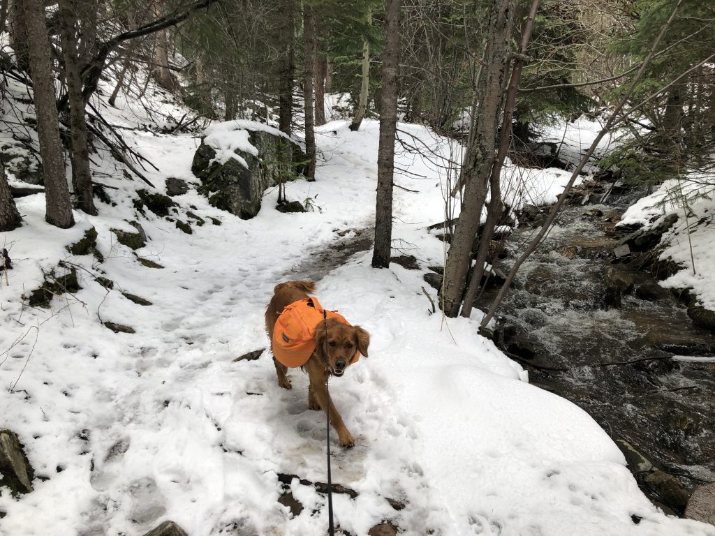
The hike itself had a bit of snow, but nothing I even needed boots for. There are lots of little bridges that cross Deer Creek as you follow it up for half of the trail. The hiking is cool and shady and passes a couple back country shelters and some camping areas. The water is too shallow for any fishing.
Eventually you get around the back of Windy Peak, which is the hardest part of the hike. Pretty steep and with quite a few switchbacks, it was mostly difficult just because the wet snow made it a bit of a slog. This part of the hike takes you up and away from the creek and you loop back around into Forgotten Valley.
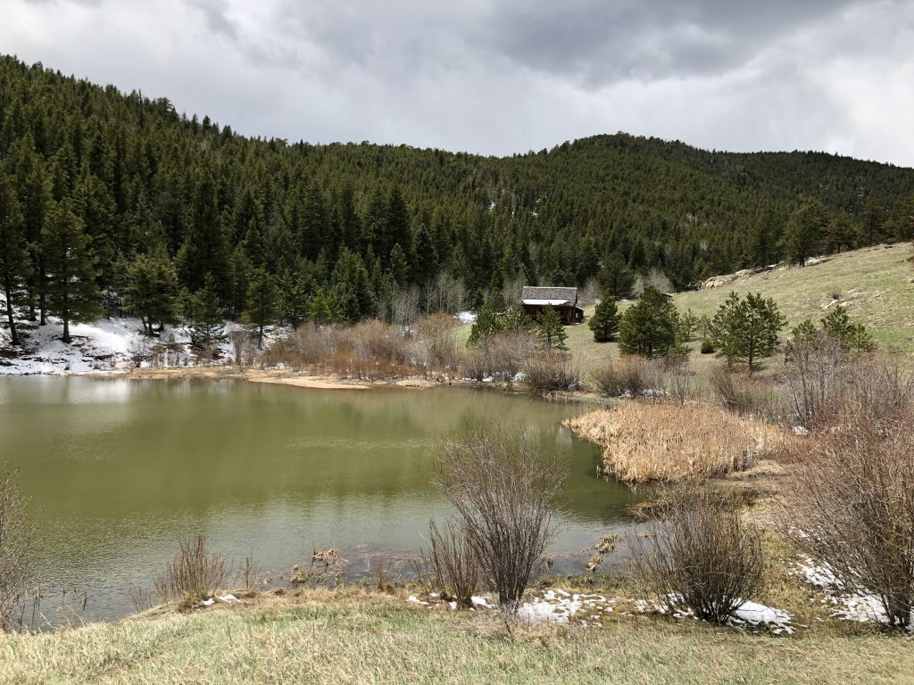
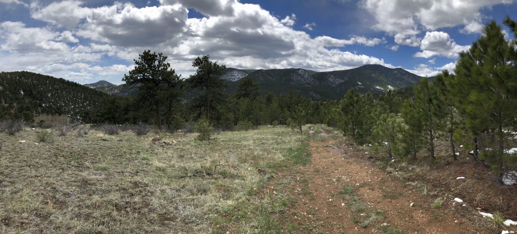
Forgotten Valley has an old somewhat maintained homestead with a few interesting signs describing how the settlers lived. The homestead has a couple great porch swings that you can sit on and enjoy the view of a large pond. After that it’s mostly a gradual downhill with nice views.
It’s a long hike and although it’s not particularly technical it does have some steep areas and a few stream crossings. It can be made a couple miles shorter by hiking Burro trail. I intend to try that one out and then eventually make it out to the west side of the park.