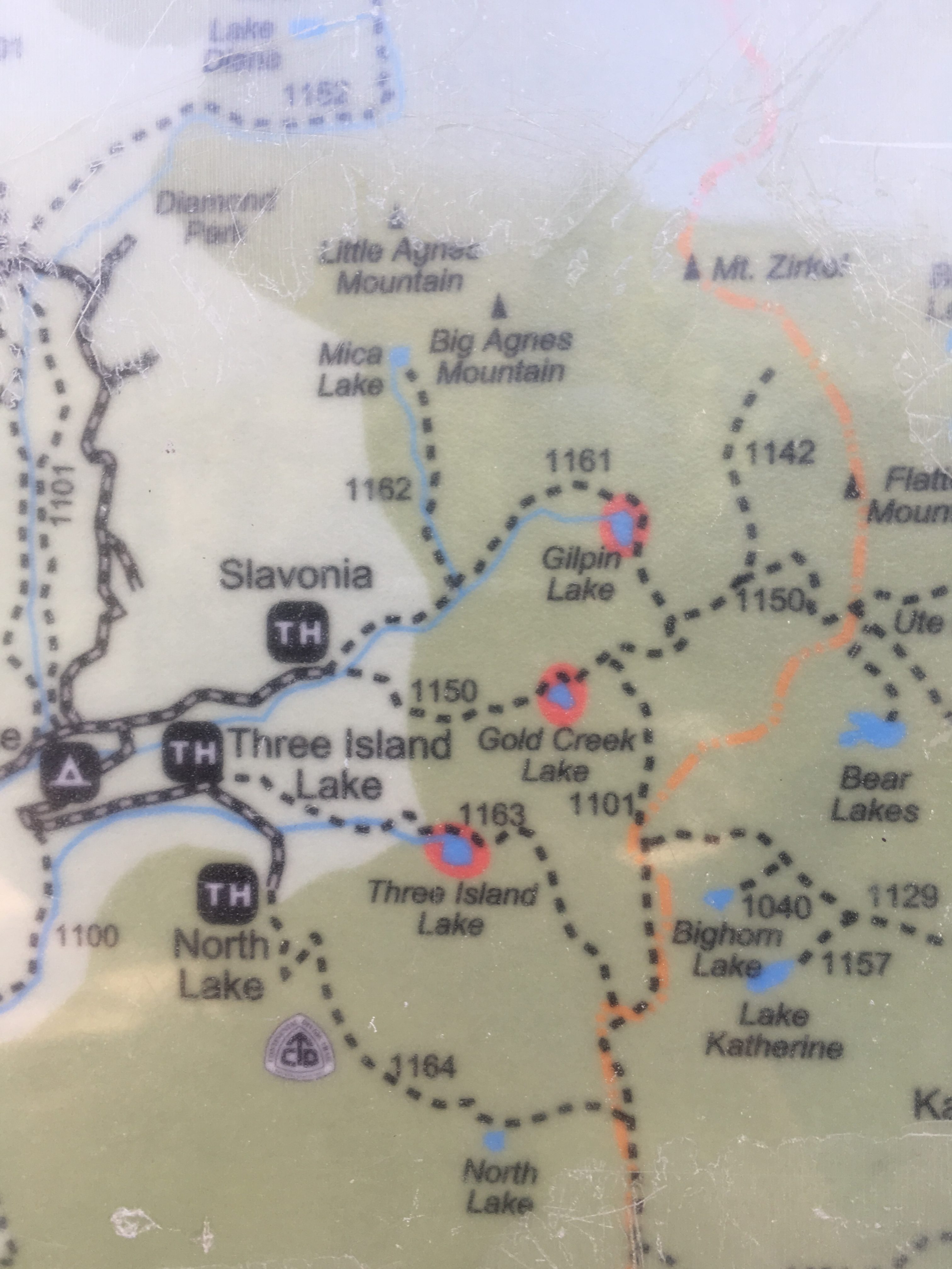
Gilpin Lake is about 10 miles northeast of the town of Clark and 30 miles from Steamboat Springs in Routt National Forest. The entire area is beautiful and there are lots of camping spots, though the dispersed spots fill up very quickly and a vehicle with high clearance is probably a good idea if you’re going to try to get to most of them. There are a lot of miles to be driven in a vehicle that can handle somewhat unmaintained roads and beautiful views.
The trail itself has a fairly well used but quite large trailhead. The trail gets a lot of traffic but there’s so much trail that it doesn’t feel crowded. There are no mountain bikes allowed, but horses are. We didn’t see any on the hike, but there was a fair share of manure on the trail so it’s obvious some people do have their horses.
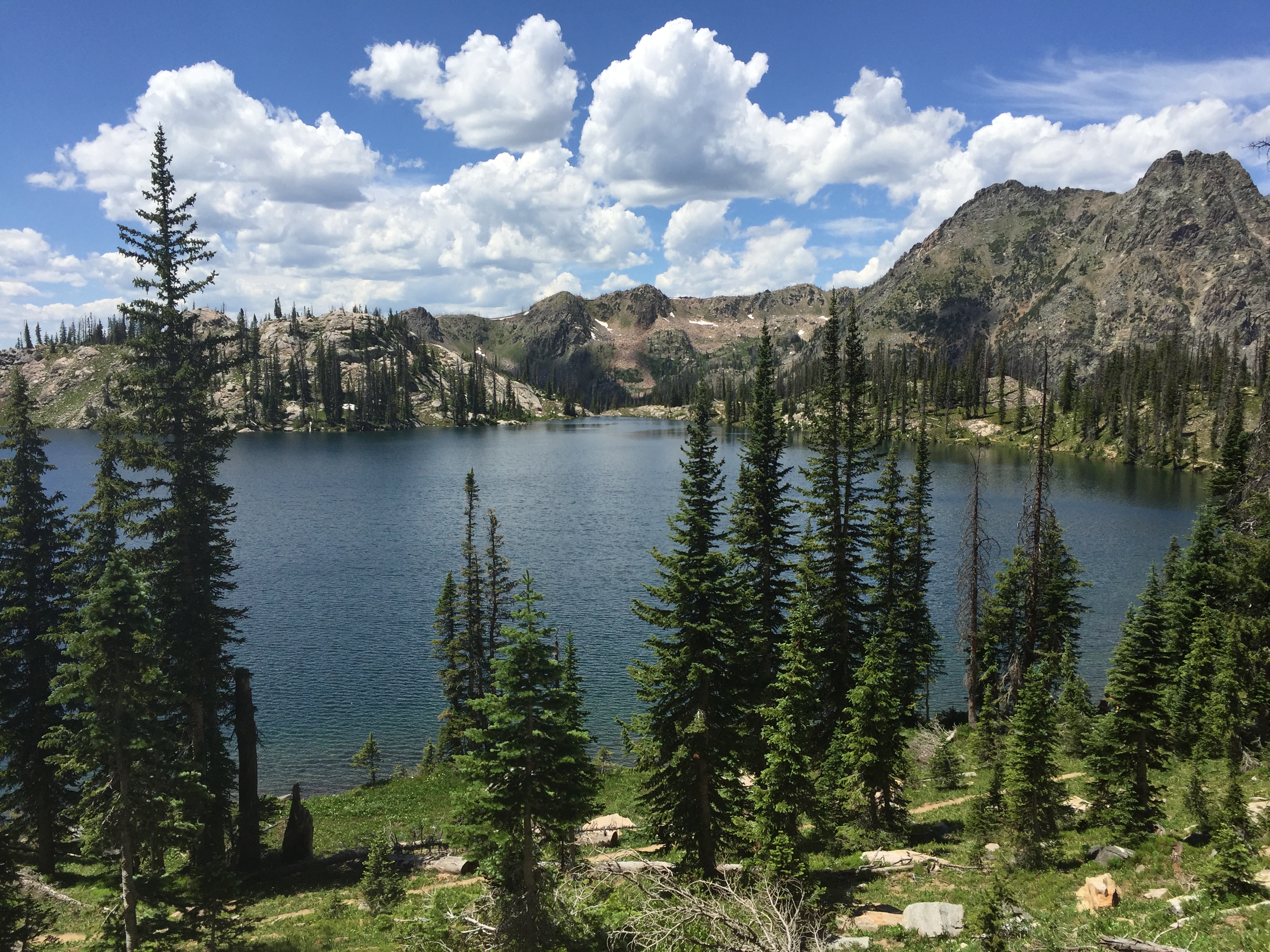
The hike can be done clockwise or counterclockwise and everyone seems to have an opinion on how it should be done. I think either direction would be fine, though before mid-July it may be best to hike “counter-clockwise” taking the eastern trail first as there’s a portion right next to gilpin lake that would be covered in snow and easier to descend than climb. Gilpin lake was frozen over until early July this year, though I’m not sure what the normal freeze thaw cycle is. Gold Lake is a bit lower and likely thaws much sooner in the year. Both lakes seemed to have plenty of fish and there were a few people fishing Gilpin when we were there.
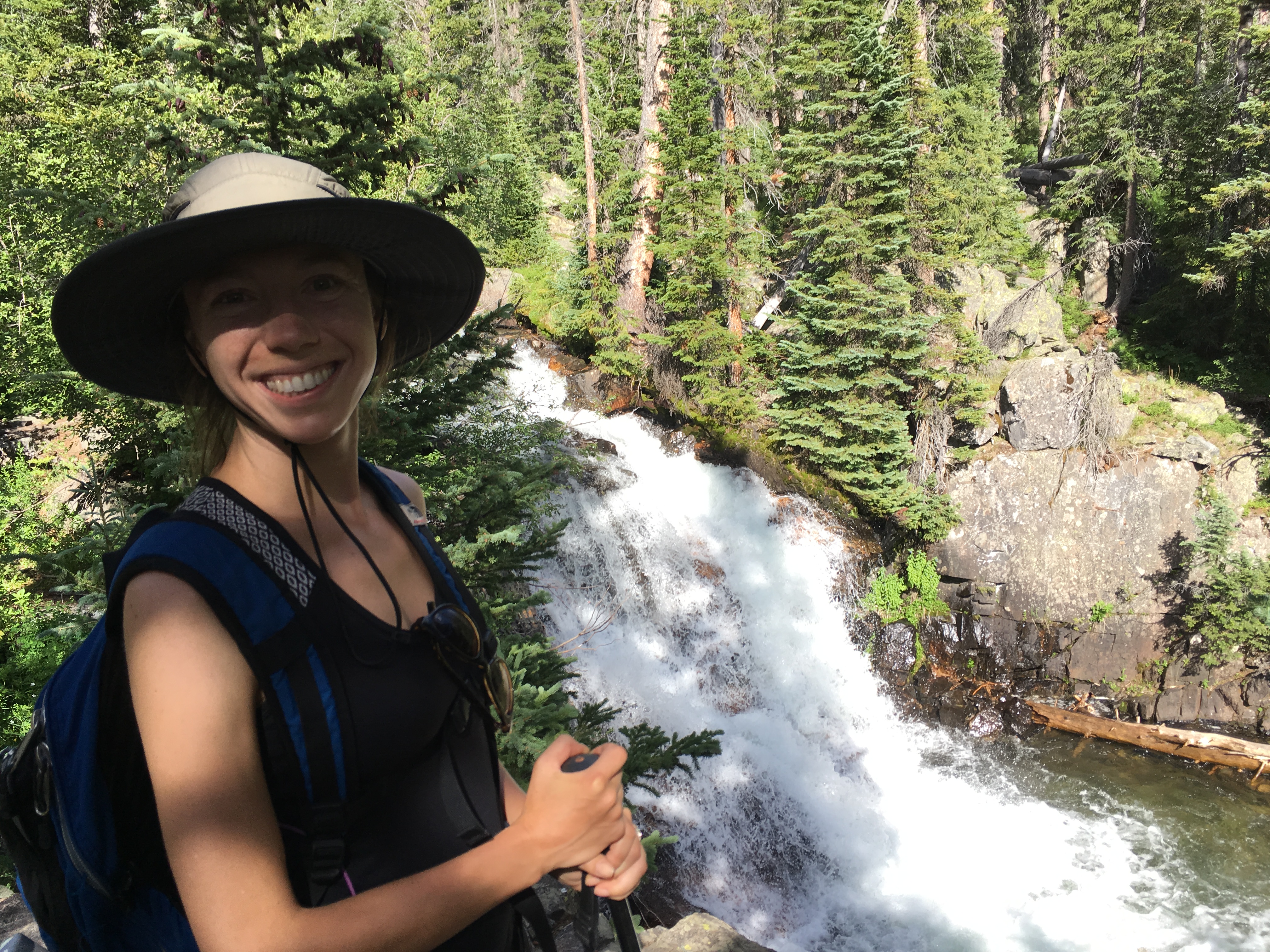
The views are spectacular and most of the trail is nicely shaded. There are lots of aspens in the lower areas and the typical graffiti from morons carving into the trees dies off reasonably quickly as you get further down the trail. When the trail starts to ascend the trees quickly turn to mostly softwood. The trail is steep in places and occasionally there are trees across the trail forcing one to climb over or walk around. There are also 3 or 4 stream crossings on both trails that have no dry spot to cross. The water is really cold runoff but walking through is refreshing and fun.
Gilpin Lake is nearly at the highest point of the trail. On the eastern trail Gold Lake is smaller and quieter but still quite pretty. Both lakes have abundant spots to set up a hammock or just sit around and enjoy the quiet. Gold Lake had far fewer visitors when we were there as many people hike straight through to Gilpin and then spend some time there.
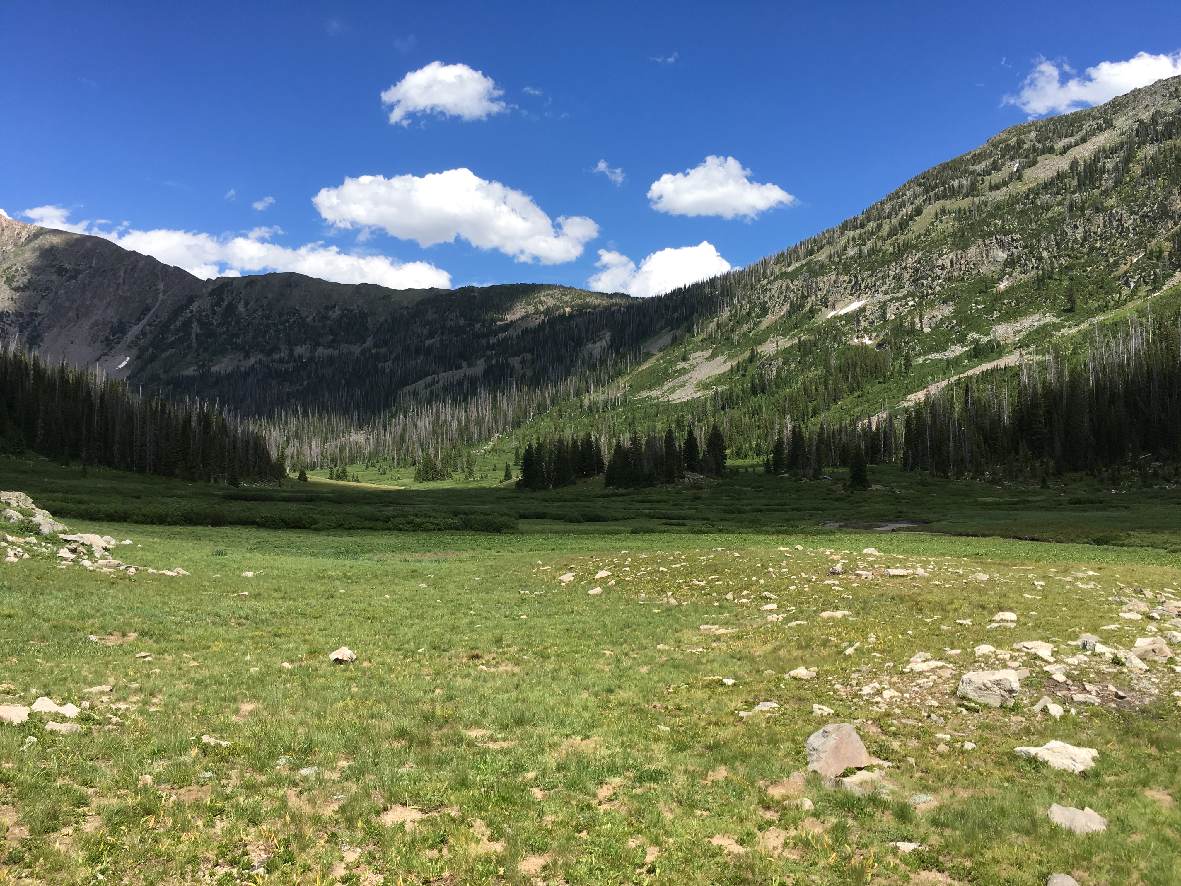
There are camping spots to be found just off the trail itself. Use restrictions require campers to be 1/4 mile from each lake and 100ft from the trail, streams or rivers. There are a few nice open fields on the eastern side of the hike full of beautiful wild flowers that give the trail bright colors well into the summer. We measured the round trip at 11 miles and it was well worth it with beautiful and varied scenery the whole way.


http://www.rockymountainhikingtrails.com/gilpin-lake-loop.htm
http://www.alltrails.com/trail/us/colorado/gilpin-lake-trail